
About Storm Spatial
Built on Two Decades of Surveying Experience
Storm Spatial was founded by Braydon Storm, a qualified surveyor with over 20 years of experience and formal qualifications including an Advanced Diploma in Surveying (RMIT) and a Bachelor of Spatial Science (University of Southern Queensland).
Before founding Storm Spatial, Braydon worked across some of the largest mining and infrastructure projects in Australia and internationally — experience that shaped the standard of precision and reliability Storm Spatial delivers today.
Since establishing Storm Spatial in 2020, that same standard has been applied across a different range of industries — local government, civil construction, environmental science, and precision agriculture — but the underlying principle hasn’t changed: accurate spatial data, delivered reliably, is the foundation every good decision is built on.
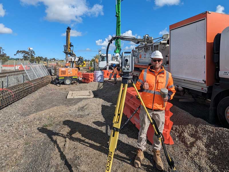
Major Project Experience
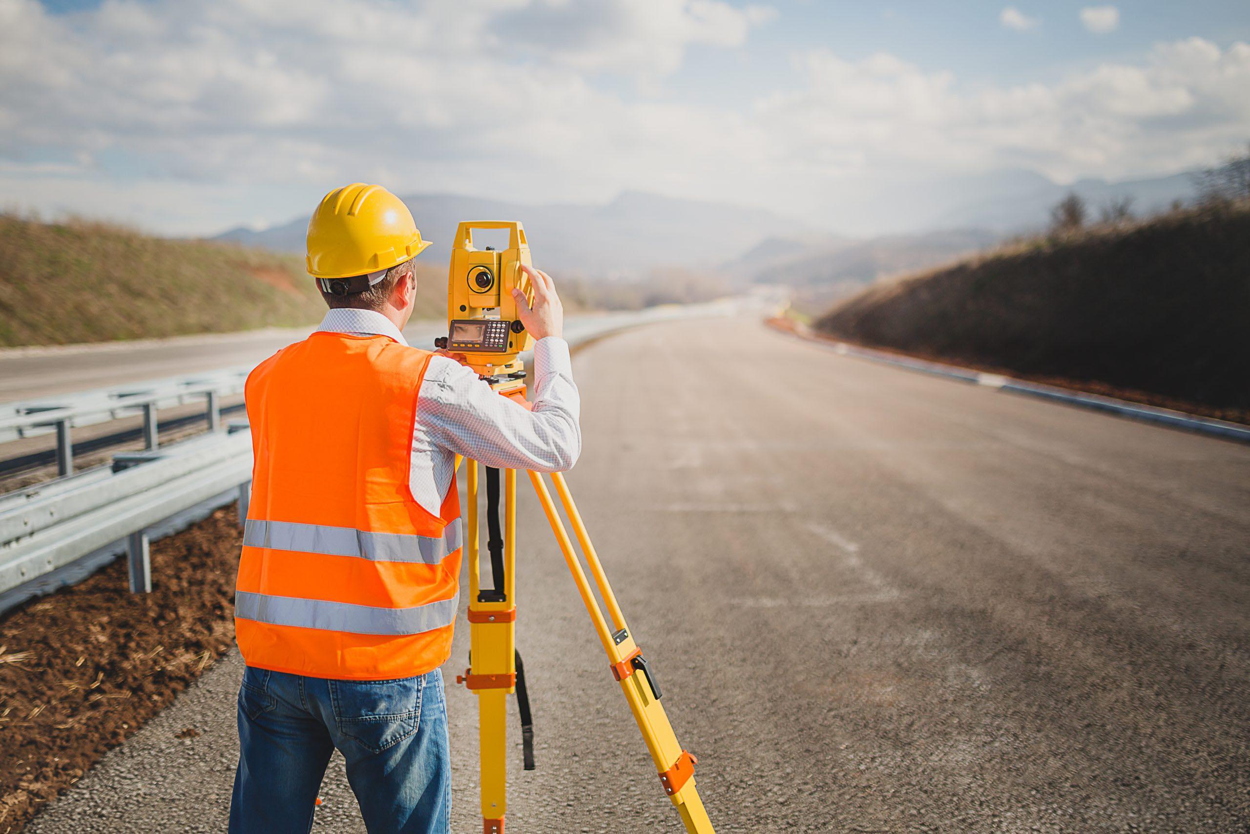
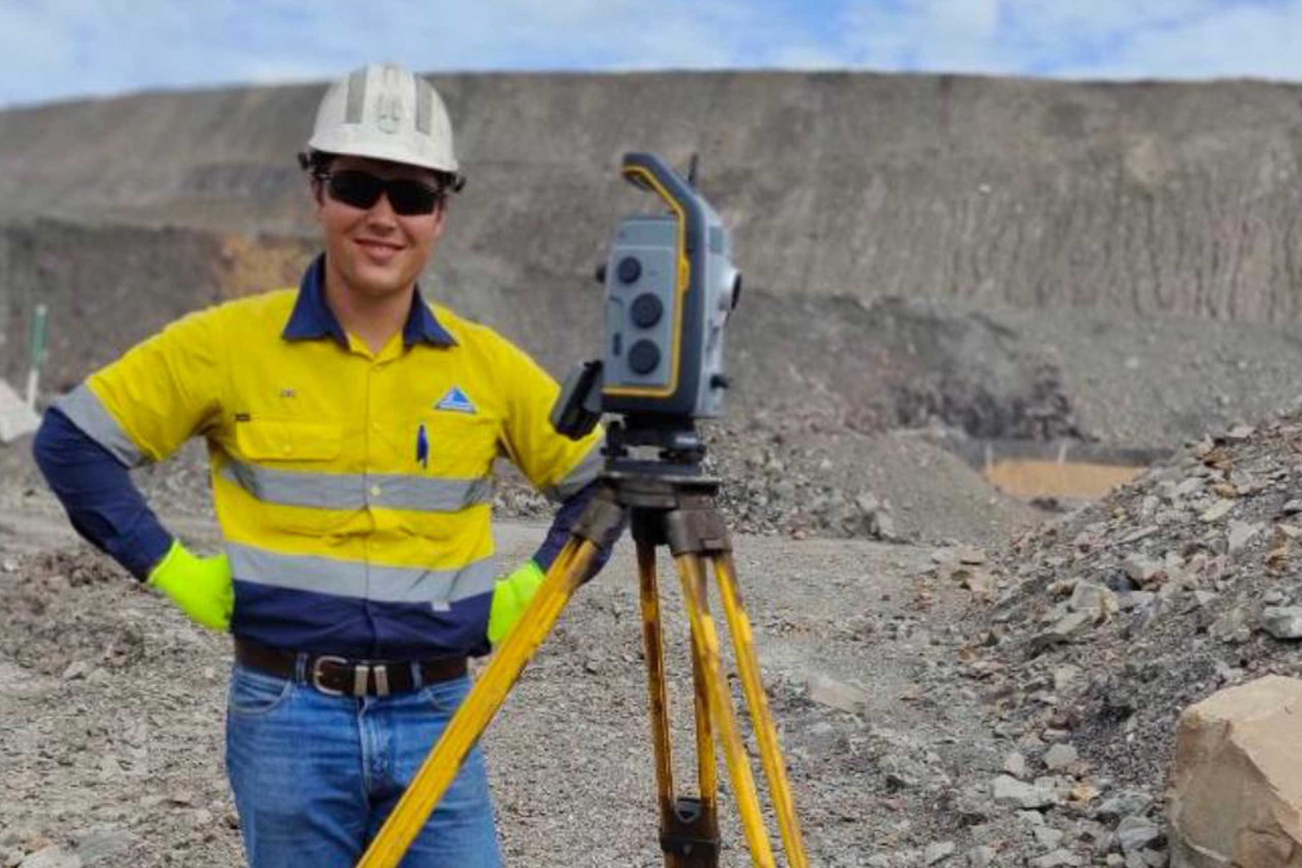
Mining & Resources (Western Australia
Large-scale survey support across some of the country’s most significant mining infrastructure.
Victorian Infrastructure
Survey delivery on major Victorian infrastructure and construction projects.
International Projects
survey experience on major international infrastructure programmes.
Trusted By





Why This Matters for Your Project
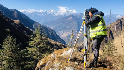
Our Team
People Experience Solutions.
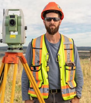
Braydon Storm
Founder & Principal Surveyor
Team Composition
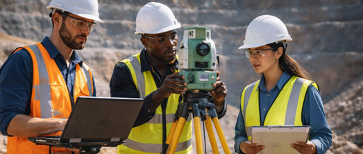

3 Qualified Surveyors
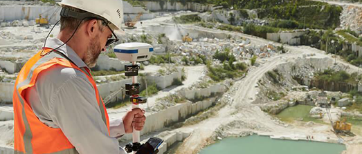

2 Licensed Drone Pilots
Our drone pilots bring complementary backgrounds in aerial data capture and agricultural operations, holding the certifications required for complex flight environments — including REOC-certified operations for EVLOS and night flights where projects require it.
Civil Construction
Mining
Cadastral
Aerial Data Capture
Agricultural Operations
Licensed & Certified
From Major Projects to Everyday Precision
That combination of survey-grade precision and modern drone technology is what allows Storm Spatial to deliver across all three of our core services:
Engineering Surveying
Millimetre-accurate construction setout and dimensional control, drawing directly on our team’s major infrastructure and mining experience.

LiDAR & Terrain Modelling
Survey-grade terrain data captured efficiently across large or complex sites using our drone fleet and ground survey equipment together.

Agricultural Mapping:
Our agricultural mapping service applies the same precision-first approach to crop health monitoring, weed detection, and variable-rate spray mapping — helping Victorian farmers make better, data-driven land management decisions.