Underground Utility Mapping
Mapping Underground Utilities with Precision uncovering the unseen
At Storm Spatial
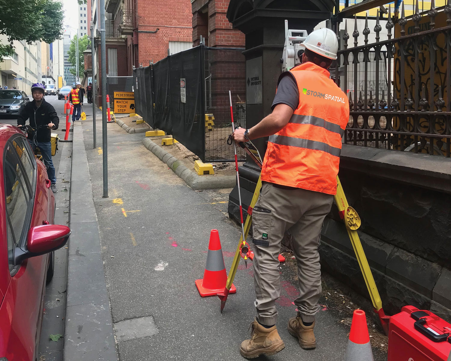
We provide comprehensive Project Management services for your Underground Service Pickup needs. Our team will ensure that every node of your project is accurately captured in 3D, including the location, alignment, and depth of underground utilities.
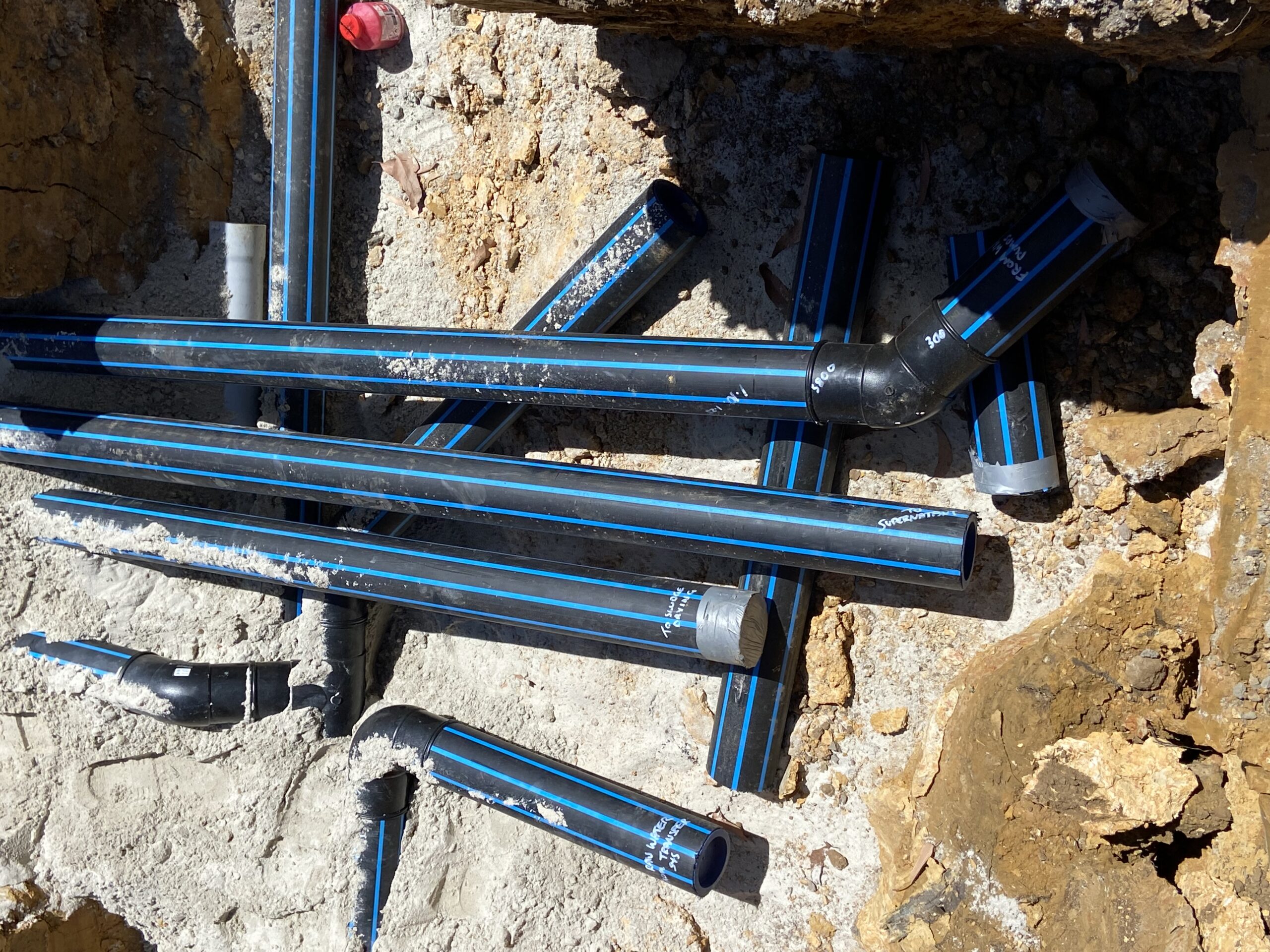
We work closely with trusted third-party professionals to safely and carefully locate and expose services, using non-destructive digging methods whenever possible. Our pickup methodology includes standard attributes such as material, diameter, and conduit/pipe size, which can be tailored to suit your project requirements and deliverable. Accurate 3D information is of utmost importance to us.


To ensure high-quality results
We use the asset location methodology outlined in the Australian Standard 5488 Subsurface Utility Information (SUI). This allows us to record and map Quality Level A (exposed asset through non-destructive excavation) and/or Quality Level B (ground penetrating radar and radio detection).
Using our Ground Penetrating Radar, we can locate, survey, and map many unseen surfaces, voids, and irregularities. Our experienced team can accurately determine the depths of targeted objects and geological surfaces, ranging from tree roots to sandstone platforms.
Our services include a range of options
Underground Utility Survey
Subgrade/Clay GPR Survey
Tree Root Investigation GPR Survey
Subsurface v Terrain Surface Mapping
Bedrock Surface GPR Survey
and Council DSPEC Surveys
