Drone Spreading
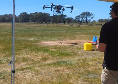
We use our drones to spread seed, fertilizer and bait accurately and evenly
Why use a Spreading Drone?
Our precision spreading services are designed to transform even the most challenging terrain. We carefully plan 3D waypoint missions that navigate around obstacles like boulders and trees, while maintaining a consistent 3-7m AGL height above the ground to ensure even and efficient coverage.
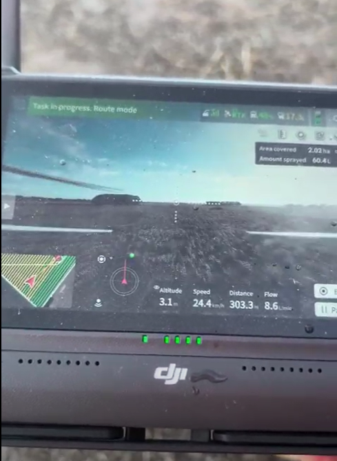
Key benefits of Drone based Spreading
-
Unmatched Accuracy: LiDAR and aerial mapping ensure even and precise distribution of seeds, fertilizer, and other materials.
-
Perfect for Steep & Challenging Terrain: Navigate difficult landscapes, including slopes and uneven ground, with ease and accuracy.
-
Minimize Soil Disturbance: Avoid tire ruts and soil compaction, especially on wet or muddy ground, preserving soil health.
-
Efficiency: Faster coverage of large areas compared to traditional methods, reducing labor costs and time.
-
Reduced Environmental Impact: Less reliance on heavy machinery, reducing fuel use and emissions.
-
Cost-Effective: Lower operational costs with minimal need for manual labor or extensive equipment.
-
Safety: Reduce the risk of accidents by eliminating the need for workers to traverse hazardous or hard-to-reach areas.
-
Sustainable Land Management: Helps with erosion control, pasture regeneration, and creating healthier ecosystems for long-term land health.
Drone spreading is revolutionising land management—smart, efficient, and eco-friendly.
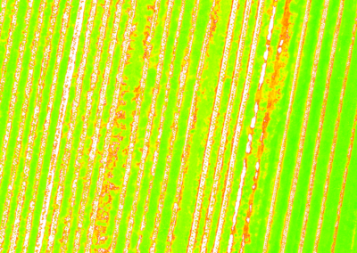
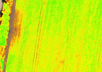
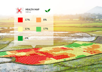
Using our NDVI Vegetation Mapping expertise, we can closely monitor the progress of growth after each spreading operation. This data allows us to identify any gaps or underperforming areas, enabling us to apply additional seed or fertilizer precisely where it’s needed to ensure uniform coverage and maximize growth.

