by Shilpa | Jul 8, 2025 | Article
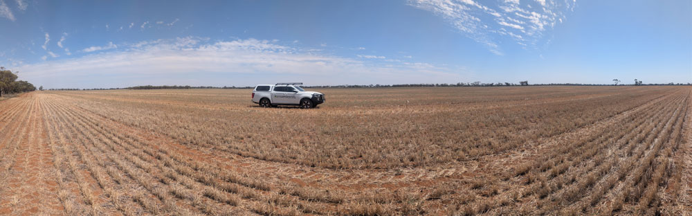
As agricultural practices evolve, the need for precise, actionable data becomes paramount. For large cereal crop farmers, understanding the health of thousands of hectares can feel like an impossible task. At Storm Spatial, we’ve come to appreciate the critical...
by Storm Spatial | Apr 22, 2024 | Article
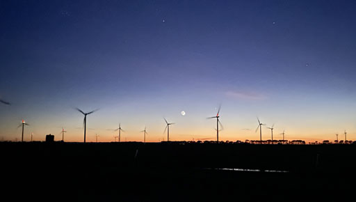
Wind energy is a cornerstone of the renewable energy revolution, and wind farms play a pivotal role in harnessing this abundant natural resource in our region in Victoria. Drone Mapping and Engineering Surveying are crucial aspects of wind farm development,...
by Storm Spatial | Nov 3, 2023 | Article
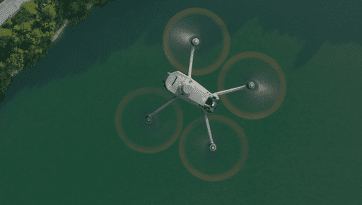
In today’s rapidly advancing technological landscape, it’s impossible to ignore the impact that drones have had on the surveying industry. Drones, with their high-resolution cameras and LiDAR capabilities, have revolutionized the way we collect spatial...
by Storm Spatial | Jul 24, 2023 | Article
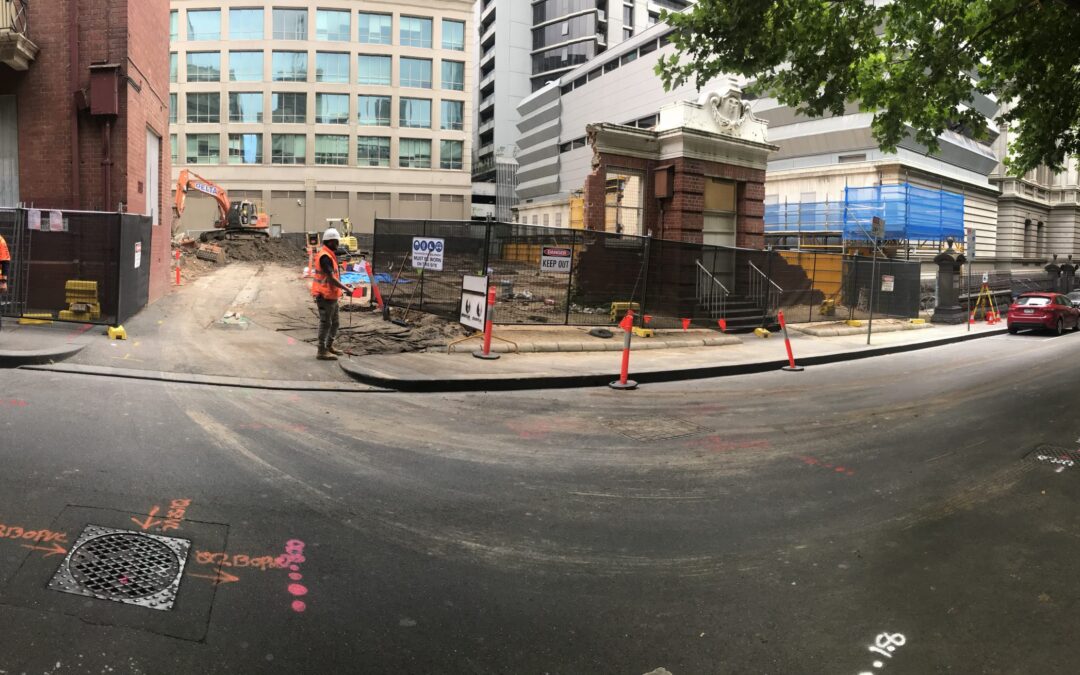
As an Engineering Surveyor, I have come to appreciate the importance of mapping underground utilities after working in this niche space for 17 years. Underground utility mapping refers to the process of creating a map or plan of the underground infrastructure,...