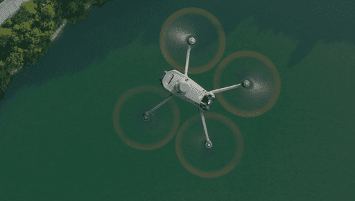
In today’s rapidly advancing technological landscape, it’s impossible to ignore the impact that drones have had on the surveying industry. Drones, with their high-resolution cameras and LiDAR capabilities, have revolutionized the way we collect spatial data. But does this mean the end of traditional surveying methods? Not quite. Here at Storm Spatial, we believe that drone mapping and traditional surveys can coexist harmoniously. In this blog, we’ll explore the five compelling reasons why traditional surveys are still essential, even in the age of drones
Reason 1: Confirming Absolute Accuracy with Survey Grade Tools
Accuracy is paramount in the world of 3D data collection. Drones are undoubtedly precise, but to deliver an absolute accuracy level, ground control points are a must. These points need to be installed before the drone takes flight, a service that Storm Spatial is well-equipped to provide. Surveyors play a vital role in establishing these ground control points, ensuring that the data collected is as precise as it can be.
Reason 2: Conquering Tree Canopies and More
Drones have their limitations, especially when it comes to penetrating tree canopies to view the natural ground beneath. Photogrammetry, a common drone mapping technique, only works for what it sees. The same limitation applies to areas under verandas, pergolas, and any structure covering the natural ground. Here’s where traditional surveyors come into play. Surveyors on foot can access these hard-to-reach areas and obtain the levels needed to complete the survey accurately.
Reason 3: The Cost of LiDAR-Equipped Drones
LiDAR-equipped drones are impressive, but they come with a hefty price tag. Not only are these drones expensive, but they also require larger drones to carry the necessary payload. Even with this investment, lower entry-level LiDAR payloads might not penetrate foliage sufficiently to capture every detail. Traditional surveying methods are often a cost-effective alternative, especially when measuring the inverts of creeks and riverbanks.
Reason 4: The Unseen and the Underground
In addition to the above-ground challenges, surveyors will still need to map unseen above-ground utility pits and potentially conduct underground utility surveys. None of these critical tasks can be done accurately enough from the drone alone. Furthermore, a Title re-establishment, a common requirement in land surveys, can never be achieved using drones. This is due to the fact that most existing evidence from previous title surveys is either buried or lost entirely.
Reason 5: Regulatory Hurdles and Project Requirements
Sometimes, the decision to use drones isn’t solely based on their capabilities. Civil Aviation Safety Authority (CASA) rules and regulations can limit drone usage, making it necessary to engage a traditional surveyor. The process of gaining approval to fly in restricted zones can involve an upfront payment, a waiting period of 4-6 weeks for approval or denial, owner consent, traffic control, and weather conditions. In cases where specific parameters need to be surveyed, involving a surveyor can often prove more efficient and cost-effective.
Conclusion
While drones have undoubtedly transformed the surveying industry, traditional surveying methods remain indispensable. The synergy between drones and surveyors on foot, supported by Storm Spatial, is what allows us to capture accurate, comprehensive spatial data. By understanding the strengths and limitations of each approach, we can deliver the most precise results to meet your surveying needs.
For more information on our services at Storm Spatial, please visit our website at www.stormspatial.com.au. We’re here to assist you in finding the perfect balance between the sky and the ground for your surveying projects. The team at Storm Spatial collaborates closely with drone pilots, providing essential survey support to ensure the success of your projects.

