Drone Inspections
Unveiling Crucial Insights: Drones Accessing Inaccessible Asset Details
Our team of CASA
Certified remote pilots employs cutting-edge DJI technology to capture high-quality aerial images, LiDAR data, and video for mapping and inspecting diverse areas. With extensive experience in ground control coordination, we can effortlessly tie your project spatially to either a Local Site or MGA coordinate system.


Our DJI drone Technology
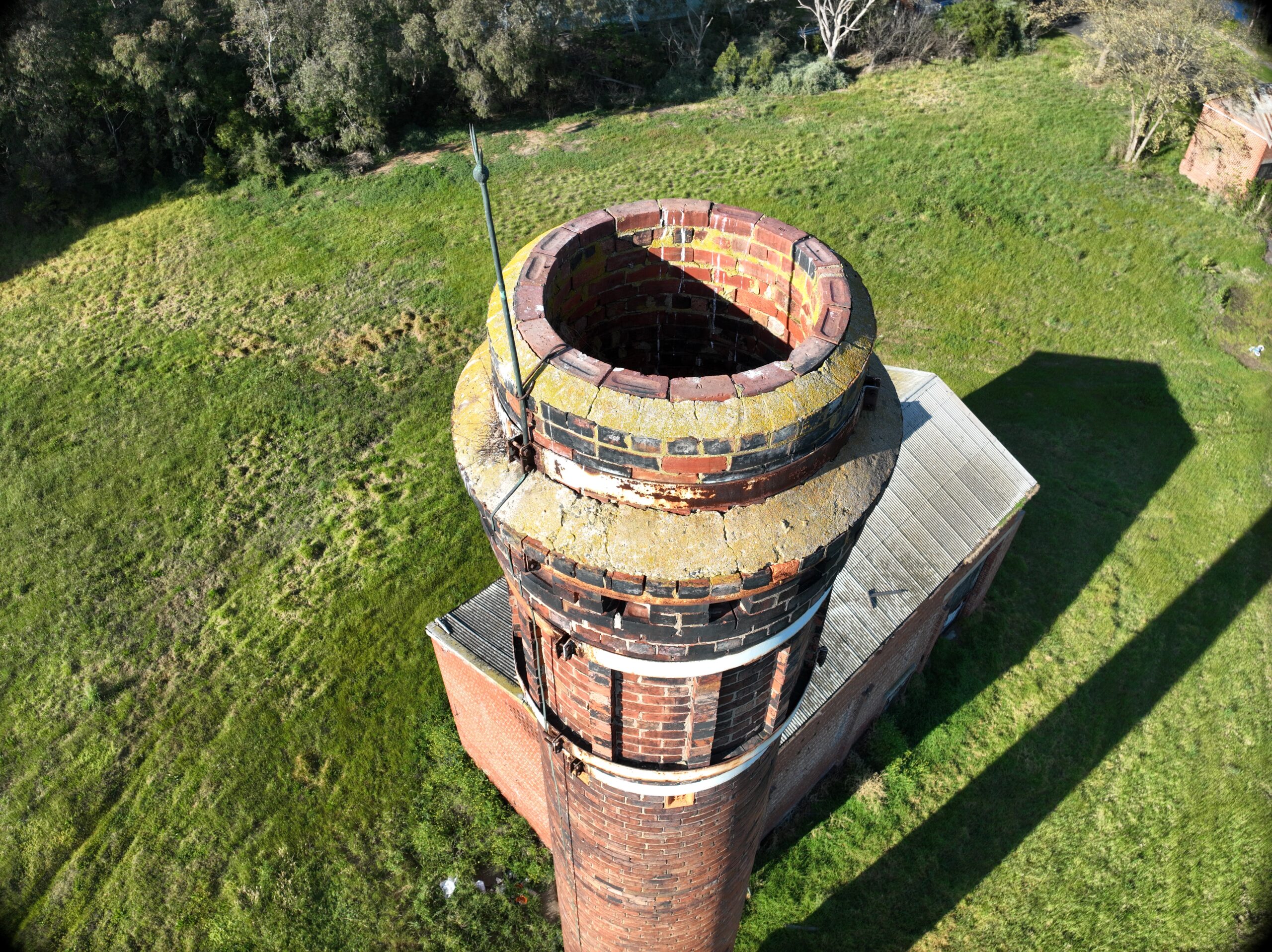
And mission planning, software, safely enables us to capture 3D models of various structures such as buildings, towers, lighthouses, and other vertically enhanced objects. Our team can work with you to discuss and plan the specific requirements for a 3D interactive model of your project.
Operating under our REOC, we can plan your flight, gain approval for restricted areas, and fly at night using LiDAR technology if necessary. We provide survey data, photos, and reports in any format to meet your specific needs.
Our team report on
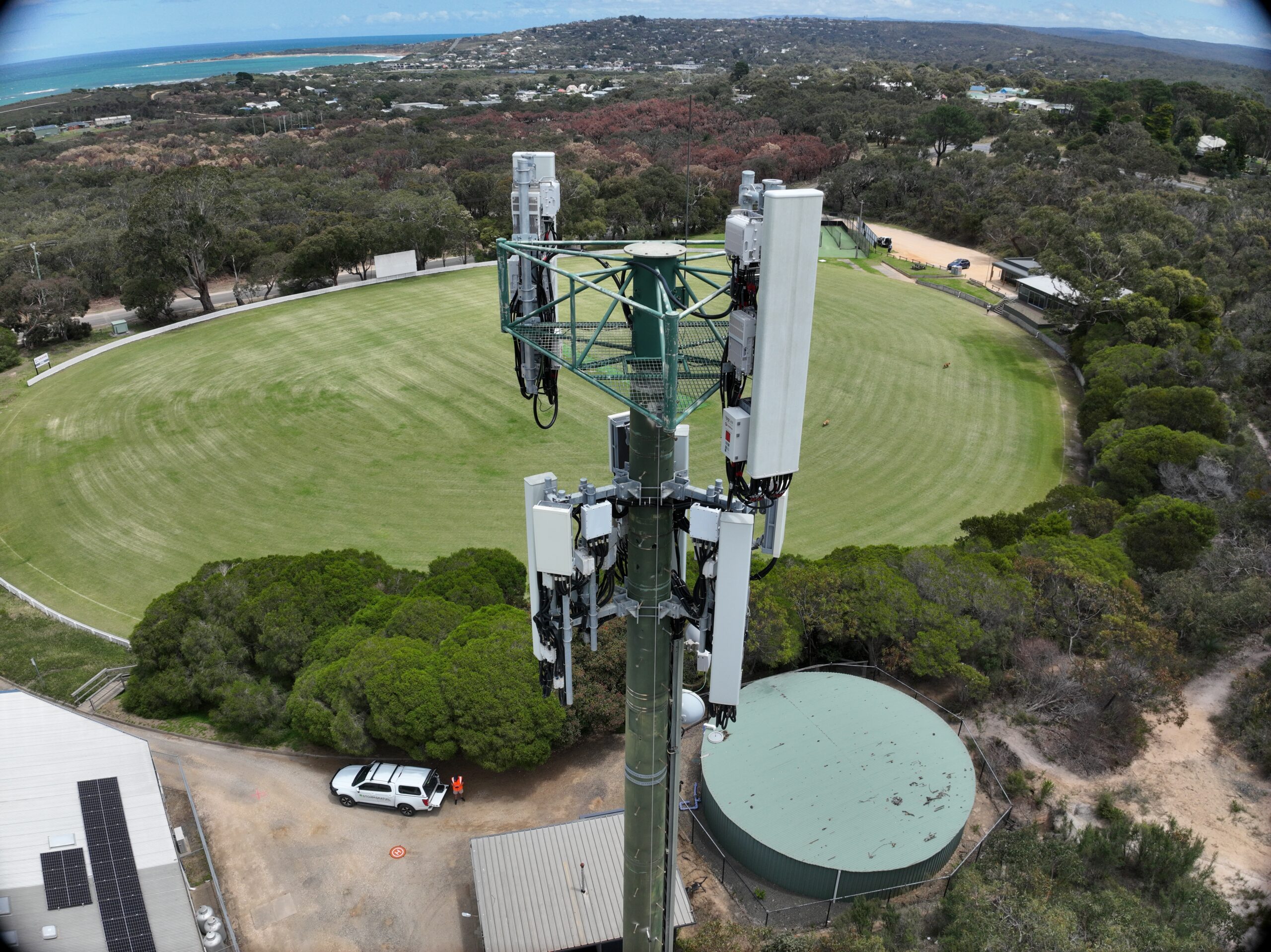
- Tower Inspections: Provides thorough assessments of phone towers and light poles for structural integrity and safety.
- Cliff Face Inspections: Evaluates cliff faces for potential hazards such as rockfall or erosion.
- Roof Inspections: Identifies rusting and dangerous areas on roofs, ensuring structural integrity and safety.
- Pavement and Road Inspections: Pinpoints deformities and damage on pavements and roads, enhancing safety and prolonging lifespan.
- Renewable Energy Infrastructure Inspections: Offers efficient monitoring of renewable energy infrastructure for optimal performance and maintenance.

Our services encompass a wide range of capabilities
Building and Rooftop Inpections
Construction monitoring Inspections
Phone tower inspections
Roads and Highways
Pipelines
Solar panels and solar farms
Coastal areas and shorelines
Cemeteries and Cultural Heritage sites
