LiDAR and Terrain Modelling
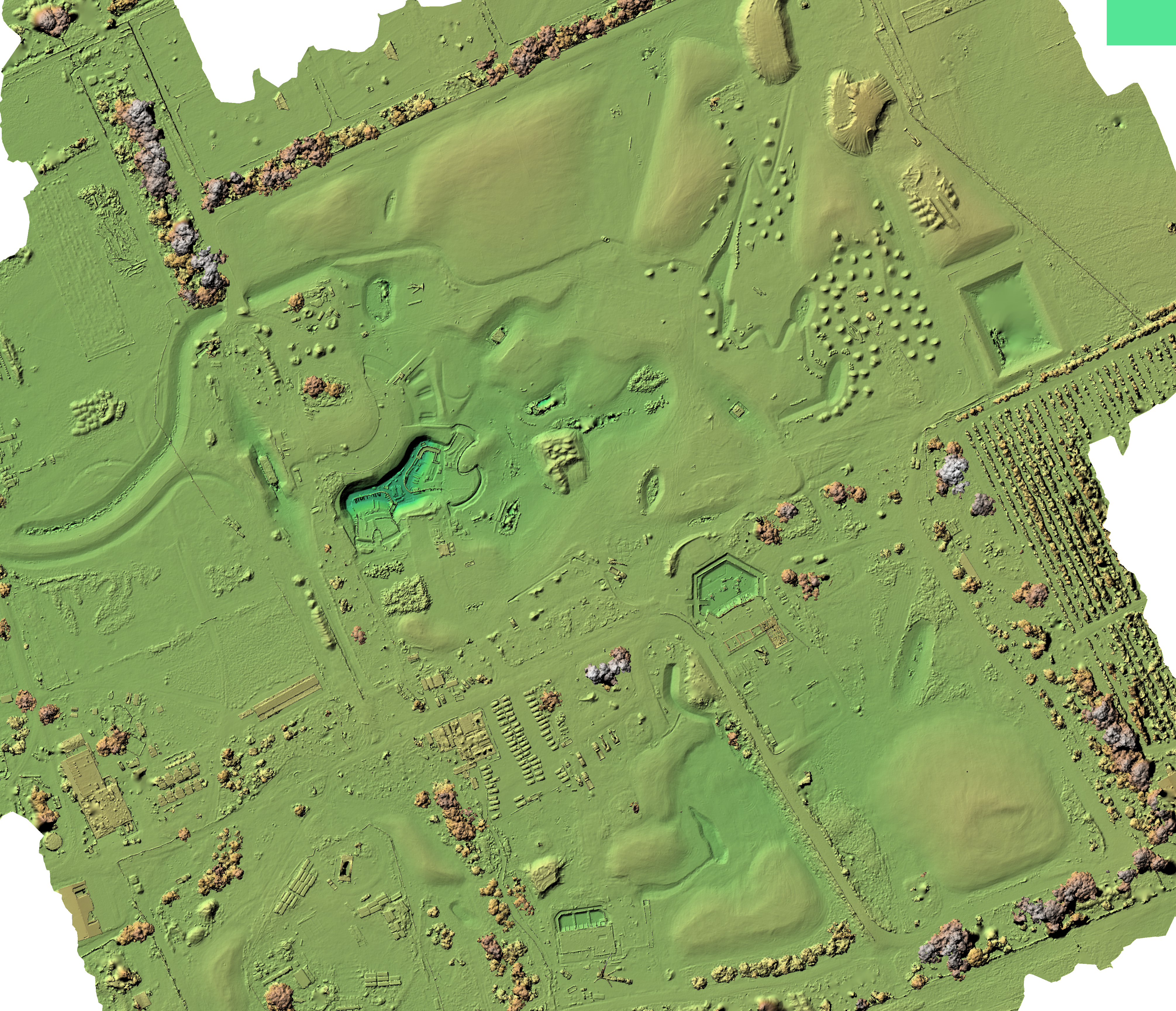
True digital terrain and ground modelling for confident decision making
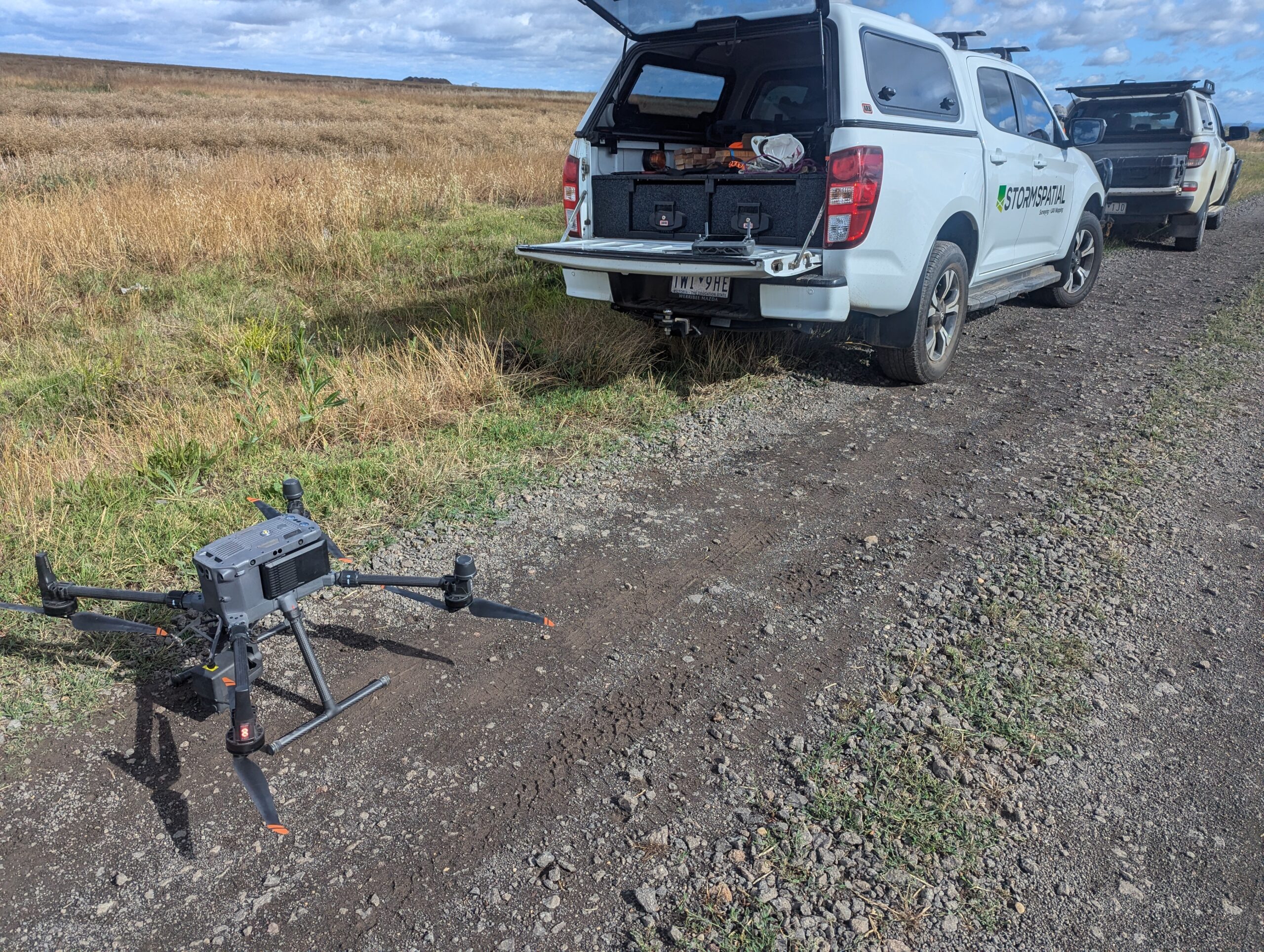
LiDAR equipped Drones and Hand Held Scanners
Our LiDAR technology is the most efficient way to map your land with survey-grade accuracies and in record time when compared to tradition Survey methods. We know what it was like traversing through tree lined roads and farms to survey a 20m grid level pattern.
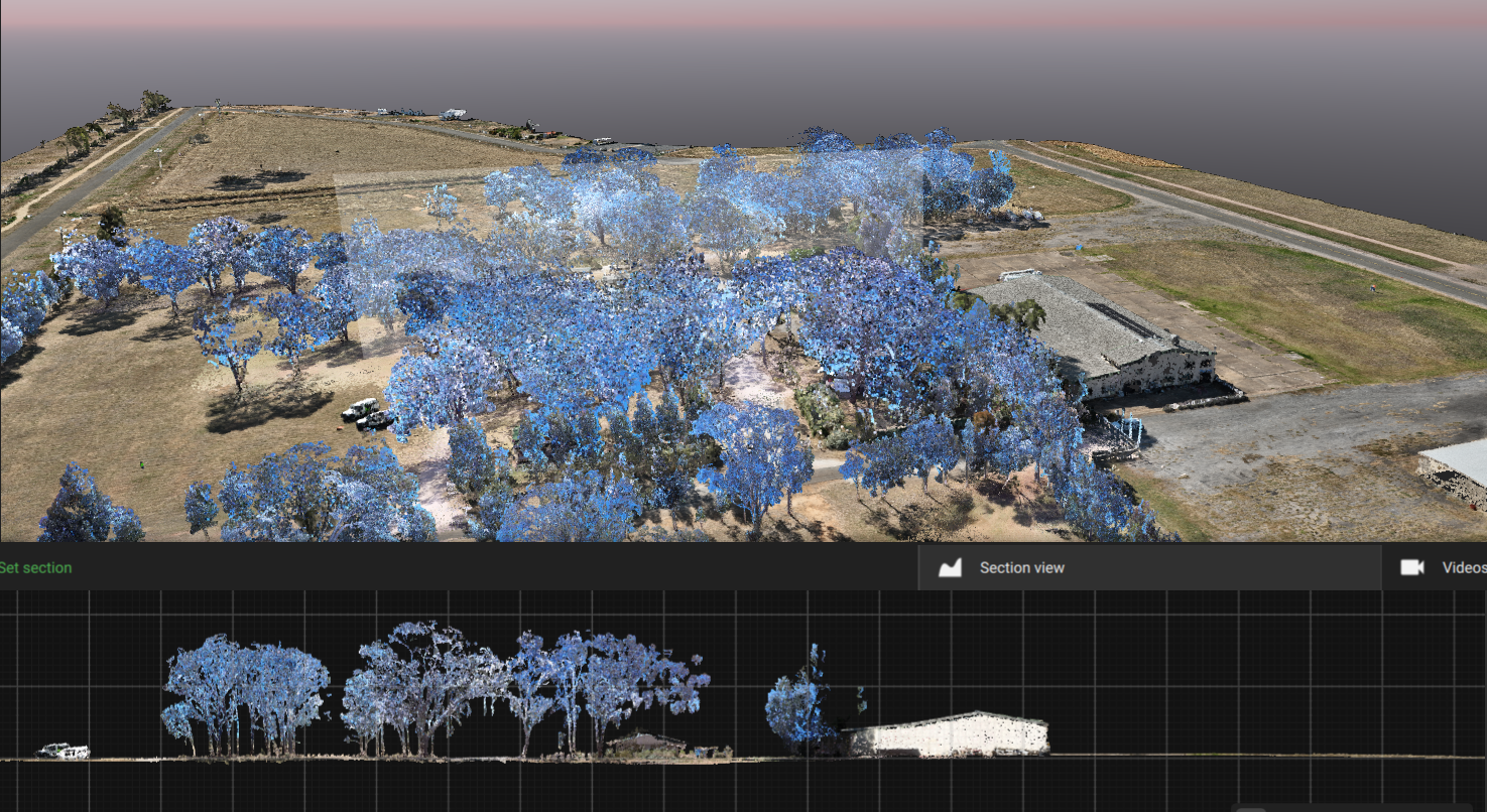
Our drones use aerial LiDAR for crop and tree canopy penetration, while ground LiDAR hand scanners, GPS, and Robotic Total Stations fill in critical details either missed by drone or required by our clients. By blending these aerial and ground methods, we tailor solutions precisely to your project, delivering the most accurate and customised ground information possible to produce:


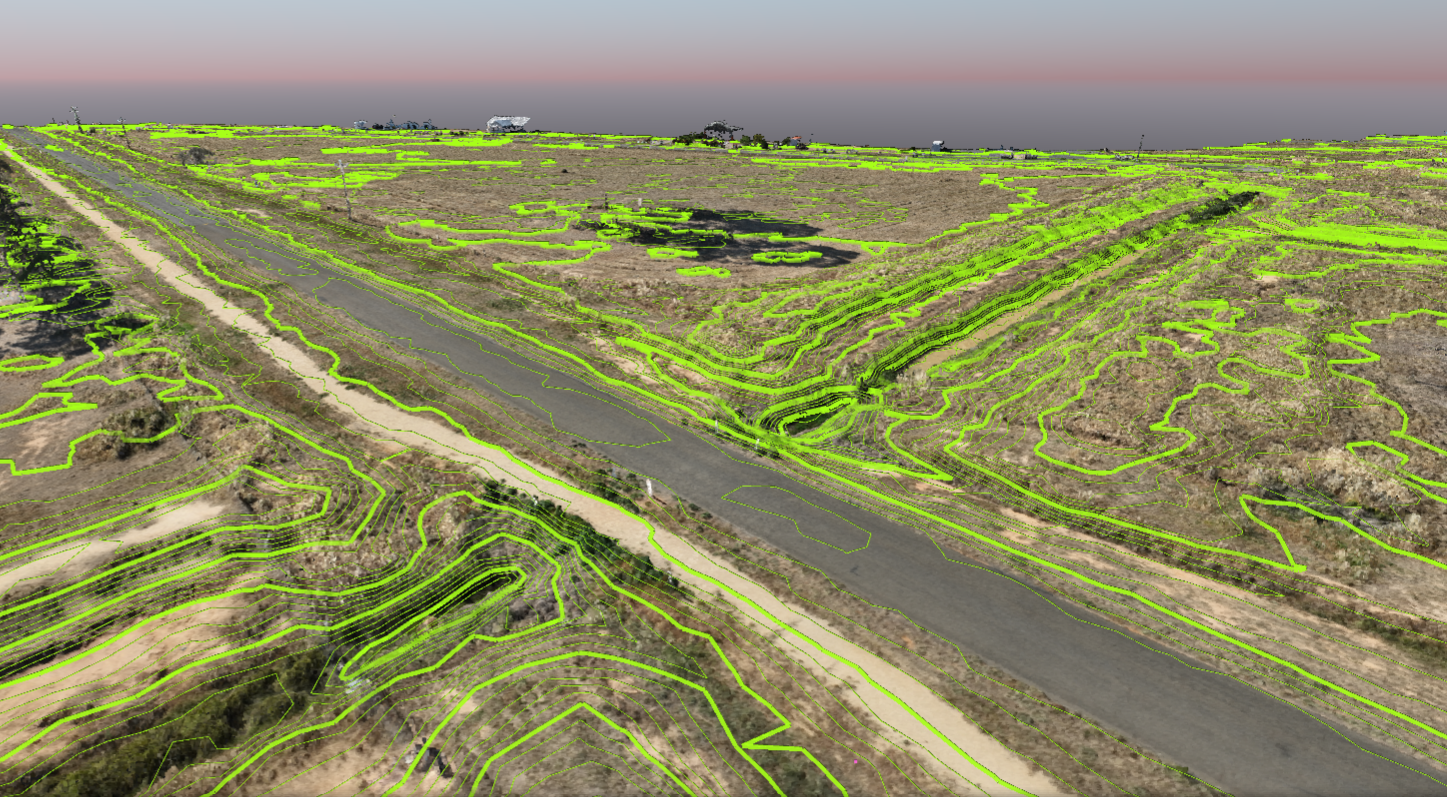
Drafting and Reporting
Our seasoned Surveyors and skilled remote pilots coordinate ground control points, either localized or based on MGA coordinates, ensuring seamless integration with your project and providing accurate drawings and reporting with elevations on the Australian Height Datum.
Operating under our REOC certification, we have the capability to plan flights, obtain approvals for restricted areas, and even conduct night flights using LiDAR technology if necessary.
We deliver survey data and drawings in a variety of formats, including GIS, 2D or 3D DWG, DXF, 12D, Pix4D, LAZ, GeoTiff, or PDF.
We believe your survey data should be used in the way that best serves your needs. That’s why, while you dictate how you’d like your data provided, we also offer access to a user-friendly, cloud-based platform for easily viewing and downloading your information. We’re more than happy to provide a demo of this platform, showing you how straightforward it is to navigate. We understand that visualising your data in 3D can sometimes be incredibly powerful for making decisions, and we’re committed to bridging that gap for you through a sit-down and learn session, ensuring you’re comfortable and confident in exploring your project’s insights.
