Surveying | Drone Mapping | Drone Spraying and Spreading
Harnessing Spatial Data for Surveying & Agricultural Land Management
Surveying Services

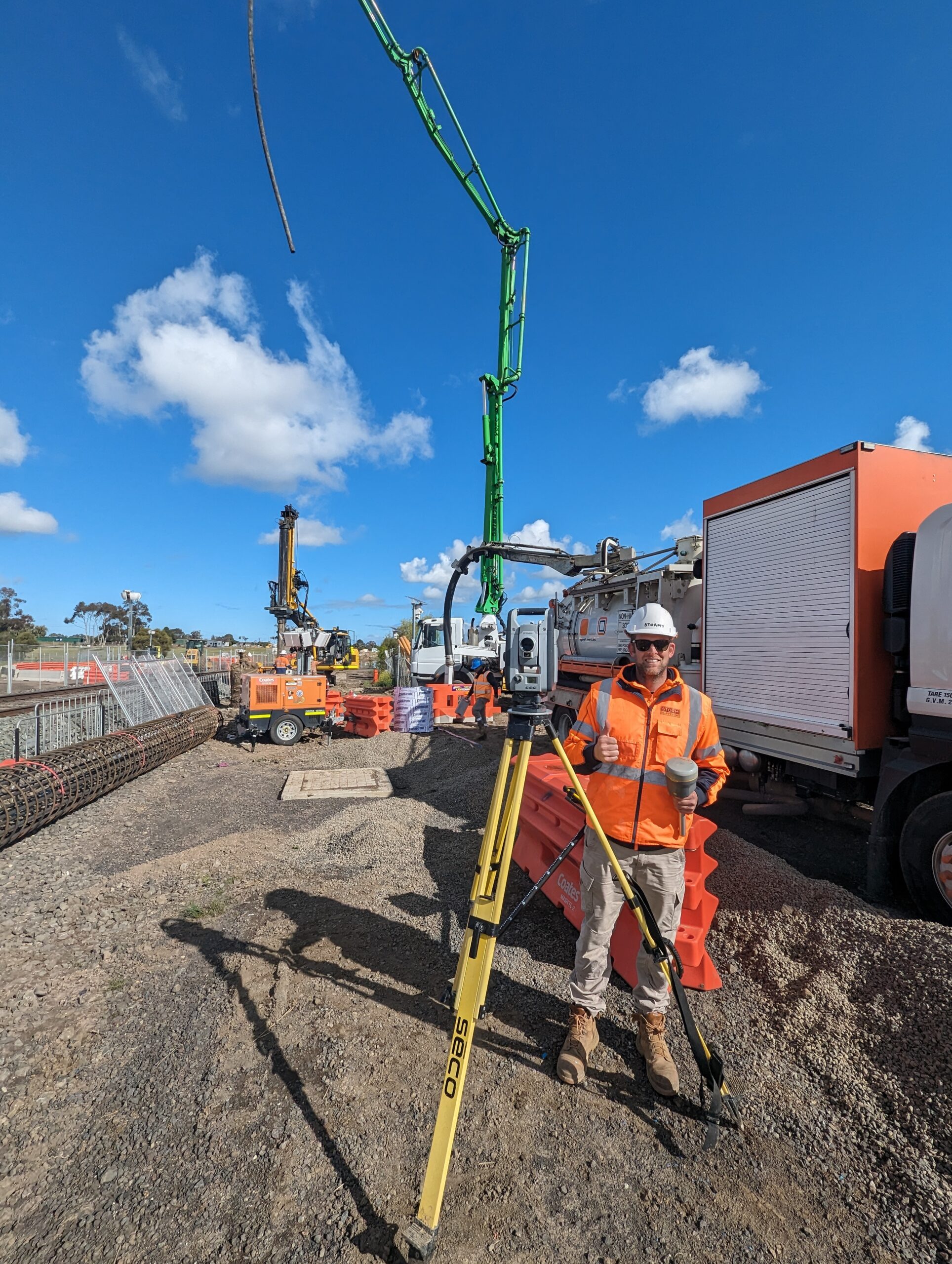
Engineering Surveying
With over 18 years of experience working alongside specialist contractors, we have developed an in-depth understanding of the construction process, enabling us to deliver a superior service.
Title Re-Establishment
Ensure your project starts on the right foot. We provide Title Re-Establishment and Boundary Surveys to accurately define your property lines before any construction or land works begin.

Underground Utility Mapping
Drone Services

LiDAR and Terrain Modelling
Capture precise terrain and elevation data with our Drone LiDAR surveys. Ideal for planning, design, and earthworks—delivering accurate results, even in dense vegetation or challenging terrain.

Inspections And 3D Modelling
We deliver high-resolution drone inspections using third-party point cloud software. Our team integrates and prepares data for detailed analysis, making asset inspections safer and more efficient.

Agricultural Mapping
We create zonation and variable-rate prescription maps for spray drones, ISOBUS systems, and John Deere sprayers. Our drone data also enables crop health monitoring over time, with early detection of disease, stress, and waterlogging to support smarter spray decisions.

Drone Assisted Turf Management
Our AI-powered NDVI mapping focuses on broadleaf weed detection and turf health analysis. Designed to support—not replace—golf course managers, it delivers clear insights that help you make informed decisions and enhance course management practices.

Drone Spraying
Our drone spraying services are designed to handle tough terrain and hard-to-reach areas with precision. We target stubborn weeds and problem spots in tight spaces, ensuring efficient and effective pest control. With ongoing monitoring, we help you optimize spray applications to reduce costs and improve crop health.

Drone Spreading
Our precision spreading services are designed to transform even the most challenging terrain. We carefully plan 3D waypoint missions that navigate around obstacles like boulders and trees, while maintaining a consistent spread of fertiliser or seed at 3-7m AGL height above the ground to ensure even..
What our clients are saying
Jobs
Years of combined experience
Happy Clients
From the air to your hands, we deliver real value for your land. We enable cutting-edge software and drone technology to empower you to see more, know more, and act with confidence, transforming challenges into opportunities for your acreage.
Our Mission
Our mission is to empower the success of those who work with the land. We strive to provide innovative geospatial and agricultural drone solutions that deliver real, measurable value. By combining experienced surveying expertise with advanced drone technology, we aim to equip clients with the confidence and insights needed to make crucial land management decisions. From enhancing crop health to optimizing civil projects, our commitment is to deliver reliable, accurate, and tailored solutions that foster productivity and achieve your goals.
Our Equipment
- Leica GPS and Robotic Total Station
- DJI-M350 L2 + DJI Mavic 3 Enterprise and Multispectural
- DJI AGRAS T50
Our Software
- 12D
- QGIS
- Bricscad
- Pix4D Suite
- DJI Terra
Some of our projects
Meredith 2500ac sheep farm Blackberry and Serrated Tussock AI Detect and Spray.
Gnawarre 200 ha MBESS LiDAR digital terrain modelling.
McKenzie St Belmont, Roof Inspection Survey
Kyneton Water Treatment Plant, 3D Scanning
Castlemaine Water Treatment Plant, 3D Scanning
Anglesea Transfer Station, Monitoring Well Survey
150 hectare Phalaris Spread and LiDAR Slope modelling.
Ryegrass in Cereal detection, zonation spray map prescription for ISOBUS
Canola and Soybean application, Morrisons VIC
Tower Rd, Portarlington, Subdivision
Bulla Dairy Trade Waste Drainage Investigation
Waurn Ponds Rail Duplication, Project Surveyor
Great Ocean Road Reconstruction and Retention, Machine Control and Civil Setout
Tasgas Compression Station, Earthworks and Construction Setout
South East Water Tank Clarifier, Mechanical Setout
AAMI Park big screens, Mechanical Setout
Beckley Park Geelong, Ground Penetrating Radar Survey
Moe cemetary Ground Penetrating Radar investigation Survey
Torquay Hotel, Beer garden Utility Survey
Torquay Hotel, Beer garden Utility Survey
Center Road Bentleigh 4 Storey Apparment Building, Building Setout
Forrest Water Treatment Plant
Icon Co, Victoria St Subsurface Survey
Werribee Open Range Zoo, Drone Mapping
Lara Baseball Field, Project Surveyor
Nyora subsurface cavity investigation Survey
William St Reserve Brighton Oval, re-surface construction setout and asbuilt.
Trusted Clients and Partners

